Nitish Kumar Government in a spot over first Bihar land survey in 114 years
Despite the government’s claims of having simplified the process, a large section of people reported that they have had to make several rounds of the local circle offices to get their khatiyan and other documents.
By Santosh Singh
The Nitish Kumar-led Bihar government’s land survey and land records digitisation exercise has been underway since August 20. A move that initially appeared to be a solution to a host of issues, given that the last land survey was conducted in 1910, has drawn criticism from the Opposition now.
Within a month of starting this exercise, the NDA government has found itself at the receiving end of attacks over the implementation of the land survey besides facing complaints of corruption at the circle office level from those seeking copies of their land records.
Grappling with such a situation, the Nitish government has now relaxed its July 2025 deadline for the initiative. “There is no deadline. The process will continue till everyone updates their land records,” said Deputy CM and BJP leader Samrat Choudhary. The government had initially sought to wrap up the process before the coming Assembly polls due in October-November next year.
On Saturday, state land revenue minister Dilip Jaiswal said the survey would be suspended for three months to give people time to complete their paperwork. “We are giving three months time to people to do their land paperwork. Till then, the survey would remain suspended. We will start the survey after three months once people are fully ready with their papers. We took the decision after realising people’s problems,” Jaiswal said.
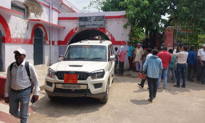
What is the Bihar land survey?
The land survey is seeking to map out and update existing land records covering 45,000 villages across the state. It entails fresh measurement of land boundaries – which has been a perennial source of conflict among stakeholders – and the verification of land ownership besides the creation of digital maps for reference.
Broadly, there are three categories of land surveys – cadastral surveys, which map individual plots of land; topographical surveys, which map physical features and boundaries; and revenue surveys, which are meant to update land records for revenue assessment.
With the exercise, the state government aims to streamline and update land records, which could help address long-pending property disputes. The statewide survey is also meant to address land-grabbing cases as the very process would prove who are the rightful claimants of the disputed properties.
Given that an estimated 70-80% of murder cases in Bihar stem from land disputes, the government is also viewing the survey as a long-term solution to crimes.
The main objective of this exercise is to improve land revenue administration by updating land rents and long-standing tax dues, which would add to state exchequer. While it would reduce disputes over land ownership, which have overburdened the civil courts across the state, it would also facilitate easier access to credit for farmers.
What is the process for the survey?
The government has sought documentation from landowners as part of the survey. The key documents required for the purpose are khatiyan (land ownership documents showing the property chain), khata (land accounts), and a digital or physical map of the land showing its location with boundaries. Land owners can apply for verification online by uploading these papers.
“It is the government that has been reaching out to people. Most documents are available on our websites. One just needs to get updated land receipts and land registry papers in case of recent purchases. Our officials are holding camps to help out people,” said Dilip Kumar Jaiswal, the state land and revenue minister.
What issues have arisen out of the survey?
In many cases of ancestral properties, there has not been division of land for two to three generations, leading to fresh disputes through the survey process.
In the cases involving farmers, many have failed to pay land taxes on time and have had outstanding dues for 10-15 years.
In several cases, people do not have the original land records, such as khatiyan. For badlen (exchanged) land, many do not have written proof of the exchanges, some carried out 40-50 years ago.
Officials have also had to contend with deciphering documents containing the Kaithi script, used in some older paperwork.
Despite the government’s claims of having simplified the process, a large section of people reported that they have had to make several rounds of the local circle offices to get their khatiyan and other documents.
Why is Opposition criticising the survey?
From Leader of the Opposition Tejashwi Yadav to Congress leader Premchandra Mishra to Jan Suraaj head Prashant Kishor, the critics of the land survey have flagged various issues faced by the public in the verification process, including their complaints about local officials allegedly asking for bribes in exchange for documents. “One just needs to go to a circle office to know how people are made to suffer,” Tejashwi said.
Kishor, who has been in the final leg of a statewide tour before launch of his political party on October 2, said the land survey was a good idea but could “end up pitting brother against brother” for those seeking the division of properties through the survey process.
How has the ruling JD(U)-BJP alliance responded?
JD(U) spokesperson Neeraj Kumar said, “Only those who have illegally become landowners could be nervous. The rightful land claimants need not worry.”
State BJP vice-president Santosh Pathak called the survey a “landmark step” by the government. “People may well be facing some difficulties but once land records are digitised, one would realise its benefits,” he said.
Source: The Indian Express